Uncovering the Hidden Reefs Marine Park, Tioman Island
Project Marine Park Jetty Tioman Between Tekek Jetty and ABC Jetty lies a largely uncharted underwater world — a field of sunken wrecks, artificial structures, and, as we recently discovered, a massive pile of tires at 28m. This project exi...
Location
Tioman, Malaysia
Depth / Date
28m max depth
October 11, 2025
Site
Tioman, Malaysia
Max depth
28m
Date
Oct 2025
Media
9 items
3D models
None
Status
finished
Extended materials
Visual archive and model set
Gallery9
Uncovering the Hidden Reefs Marine Park, Tioman Island
Flatpic
Flat2
FlatPic
Large big wreck
GIS mapping 2
GIS mapping 1
GIS mapping 3
waffle-wreck
About this project
Site notes and field context
Project · Marine Park Jetty · Tioman
Between Tekek Jetty and ABC Jetty lies a largely uncharted underwater world — a field of sunken wrecks, artificial structures, and, as we recently discovered, a massive pile of tires at 28m. This project exists to explore, document, and map it all.
The Site
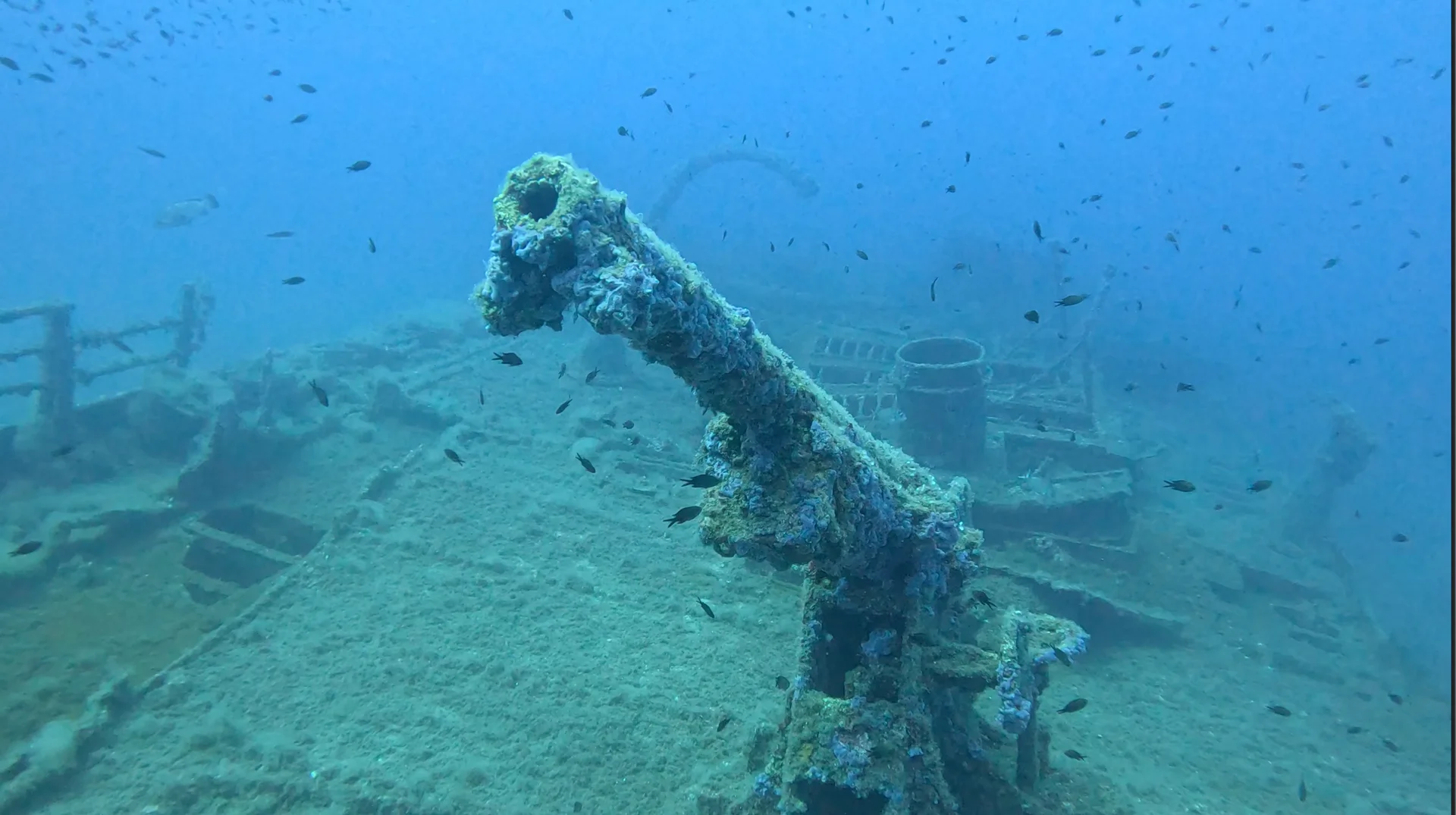
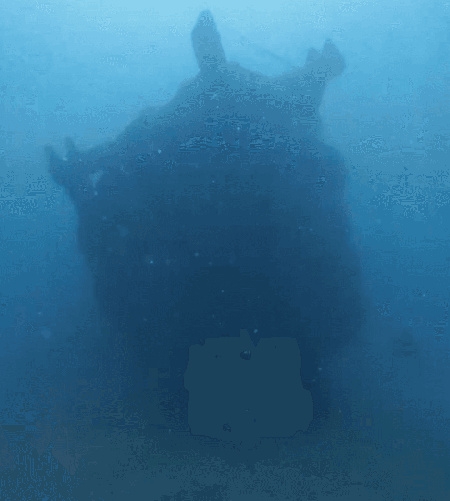
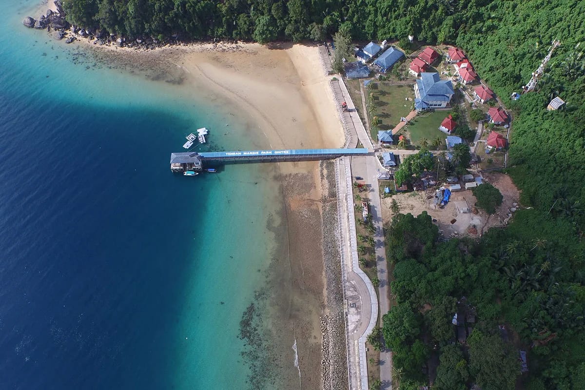
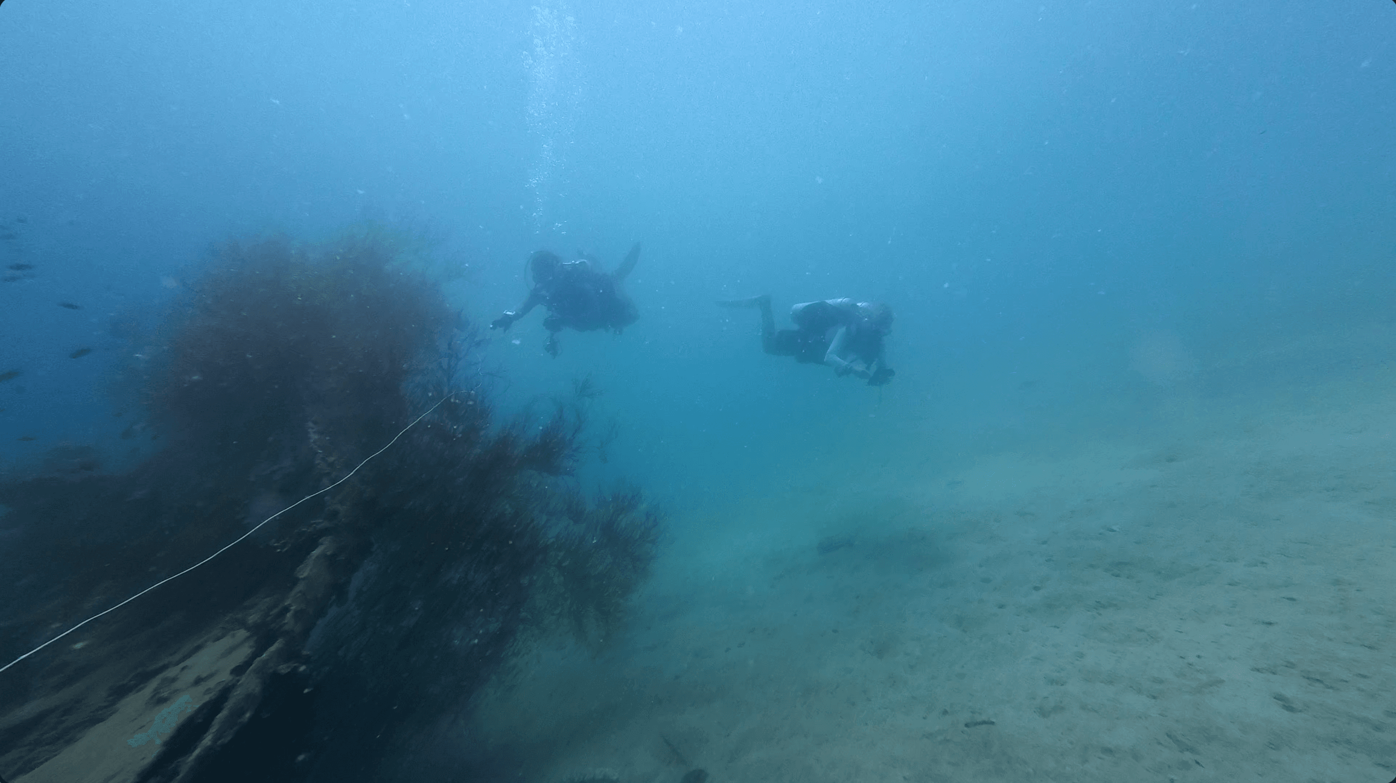
Marine Park Jetty sits between two of Tioman's busiest jetties, yet its dive site has remained largely unexplored. Visibility is low, but what's down there is worth finding: wrecks in varying states of decay, some still connected by lines, others scattered and isolated.
| 28m — Deepest dive (tire site) | ~25m² — Tire field footprint |
| 6m — Reef depth (accessible to all) | Low visibility — characteristic of the bay |
The reef begins at just 6m — open to divers on singles — while the tire field reaches the deepest point of the site. The discovery of the tires by Zicong Wang (Shaun) opened a bigger question: what are all these structures doing here, how did they get here, and what's living on them now? That question became the seed of this project.
From the Project Director · Gemma Thomas
What is a project? Read below (and continues in the comments) to see how an idea has led to us combining interests to make a project.
For a long time, I didn't know how to start one. But I did know the sense of satisfaction that comes from achieving something meaningful during a dive after volunteering on projects. I wanted more people to experience that feeling. The question was… how?
Last year, we decided to start mapping the wrecks in the marine park. First, to discover how many were actually out there. Second, to create a map to help others explore and navigate between them.
Then things started to come together.
Zicong Wang (Shaun) discovered the tires. Youseff brought a passion for photogrammetry. Different interests aligned and just like that, a project was born.
After a few days of diving, we've: Expanded the wreck map. Completed rough photogrammetry on the wrecks part of the reef and tires. Learnt to map Learnt to triangulate to drop onto the wrecks. Come back with a lot of data.
Now we're working on turning it all into a usable map and we are even thinking about ways to challenge divers to explore and navigate between sites. Stay tuned!
Huge thanks to Jon and Youseff for their energy and commitment. We did a lot of surface swimming, made the most of doubles to maximize bottom time and were rewarded with sharks and turtles along the way. Whilst being able to dive doubles was certainly beneficial for mapping the tires which are big (roughly 25m square) and the deepest point of the site. Some of the other wrecks are much shallower and so easily accessible to divers on singles. The reef is at 6m, so really accessible for everyone. Plus all this was done with a 12sgd tape measure, some wetnotes, compass and 2 gopros and an insta360. Really is accessible for all.
What We're Working With
- Wrecks at varying depths — some connected by lines, others isolated
- Tire field (~25m²) at 28m — origin still under investigation
- Reef at 6m — accessible on single tanks, good for all levels
Kit used: SGD$12 tape measure · Wetnotes · Compass · 2× GoPro · Insta360
What's Next
We're processing survey data, building a usable wreck map, and exploring ways to turn the site into a navigation challenge for divers. If you're interested in joining, contributing data, or just following along — watch this space.
Tags: citizen science · underwater mapping · photogrammetry · Tioman · Marine Park · wreck diving
Mission brief
Approach, gear, and outputs
Equipment
Keep exploring