Project Marine Park: Mapping Tyre City
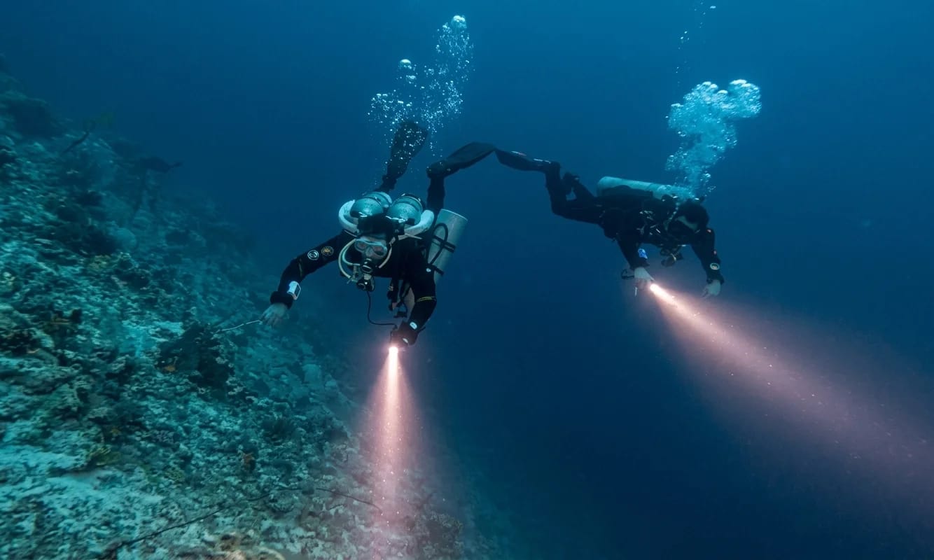
I never intended to embark on a dive project that would change my approach to exploration. It all started with an unexpected night dive in July, where I was towed by a DPV and got hooked on the thrill of flying through t...
Field transcript
Dive notes and observations
A dive project that started by accident
I hadn’t even heard about the Tyre City project at first.
It all started when I met a few divers from Global Underwater Explorers (Global Underwater Explorers) while taking my doubles class. That’s where I met Zicong Wang (Shaun) and Alex Dimasacat, who had managed to retrieve the GPS coordinates of this mysterious underwater site known as Tyre City.
Then came an unexpected opportunity: a night dive to explore it.
I said yes immediately.
First contact: darkness, DPVs, and adrenaline
That dive was a series of firsts for me:
- First time being towed by a DPV (diver propulsion vehicle)
- First night dive
It was intimidating—honestly, a bit scary. The darkness, the speed, the unfamiliar environment. But at the same time, it was absolutely fascinating. There’s something surreal about flying through the water at night, guided only by beams of light.
That dive hooked me.
It wasn’t just an exploration—it felt like the beginning of something bigger.
October: first attempt at photogrammetry (and failure)
By October, I knew Zicong Wang (Shaun) was preparing for his Instructor Evaluation to become a Global Underwater Explorers Performance Diver Instructor. I wanted to support him—and also get more involved in the project.
That’s when I joined another trip with Jon and Gemma Thomas. The plan:
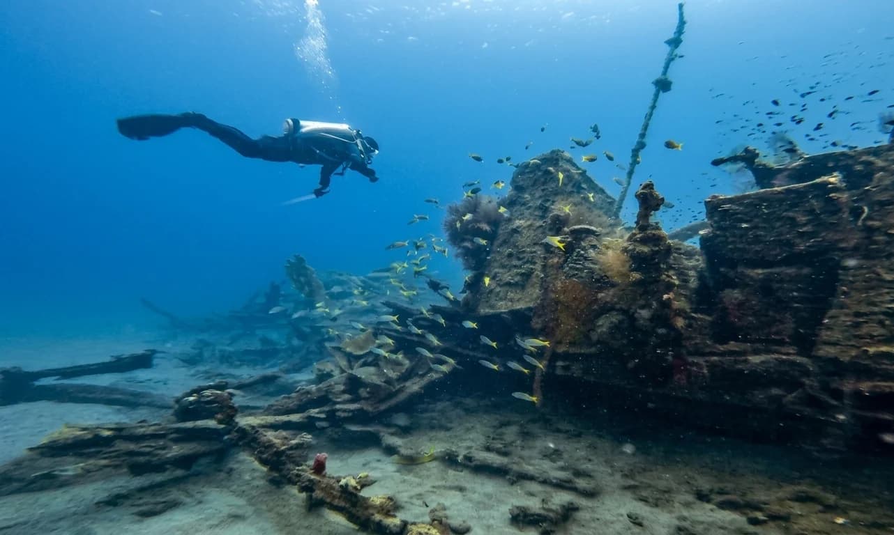
- Measure the wrecks
- Start photogrammetry mapping
It was my first real attempt after training with Sea Imagination.
And honestly?
It was a failure.
Not because the tools didn’t work—but because I misunderstood the goal.
I was trying to capture highly detailed photogrammetry, focusing on precision and detail. But what we actually needed was something different:
- A “helicopter view” of the site
- A large-scale map showing layout, distances, and orientation
Meanwhile, Jon Lee and Gemma Thomas were building a measuring spool system—mapping distances between wrecks and defining their relative positions.
That’s when it clicked:
This wasn’t about perfection. It was about structure.
Learning curve: mistakes, speed, and progress
After that, I kept practicing.
I went to Camtu to test photogrammetry on the actual project site. I managed to capture some usable data—but I was still rushing. Moving too fast, missing coverage, cutting corners.
Classic beginner mistakes.
But each attempt improved my understanding:
- Movement speed matters
- Coverage matters more than detail (at this stage)
- Consistency beats ambition
Progress was happening—even if it didn’t feel like it at the time.
March: real progress in Tioman
In March, I went to Tioman Island for my tech pass (separate story).
After that, I stayed a few extra days to focus on the Tyre City project.
This time, things were different.
Jon brought a proper measuring tape—simple, efficient, with clear markings and easy rewinding. That alone made a huge difference.
More importantly, we had clarity:
- Jon Lee and Gemma Thomas → measurement & mapping
- Me → photogrammetry & documentation
We worked as a team, each with a defined role. While they handled structure and distances, I focused on capturing images—and also documenting the process with photos and videos.
And finally… it worked.
Where we are now
After multiple dives, mistakes, and iterations, we reached a key milestone:
- A reliable map of Tyre City
- Accurate GPS coordinates
- The ability to locate the site using triangulation (no markers needed)
This last point is huge. It means the site can be found and revisited without leaving anything behind—critical for conservation and long-term monitoring.
What’s next: collaboration and conservation
We’ve also started discussions with Reef Check Malaysia, a local nonprofit focused on marine conservation.
They’re interested in collaborating.
And that’s where the project becomes something more than just a dive exploration.
It becomes:
- A mapping initiative
- A conservation effort
- A long-term documentation project
Final thoughts
Looking back, the journey wasn’t linear:
- First dive: excitement and fear
- First mapping attempt: failure
- Practice: frustration and small wins
- Final phase: structure, teamwork, results
The biggest lesson?
You don’t need to get it right the first time.
You just need to keep going, adjust, and learn.
And sometimes, the best projects are the ones you didn’t even plan to start.
Keep reading